Coordinate
This command opens the Coordinates dialog. The coordinates of points are calculated from the nearest reference plane and level that are defined in the coordinate system of Piping Isometrics & Spools. Also the format of the coordinate label is defined there.
Coordinate labels are generated by a script whose name is defined in the settings. Geometry points can have tags, which enables coordinates to have continuity information.
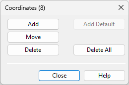
Add
Pick the point you want coordinate and digitize the locations of the coordinate label. The position of the connecting line can be controlled by the choice of key used (right-click to see options).
Add Default
This function adds default coordinates to the picture. This only works if there are no coordinates in the drawing.
Move
This command lets the user reposition a coordinate label. The reference point of coordinate is not moved.
Delete
The program suggests the most recent coordinate text to be deleted. You can either accept it or digitize another coordinate from the picture. When accepted the coordinate is erased from the view.
Delete All
This function deletes all coordinates from the view.